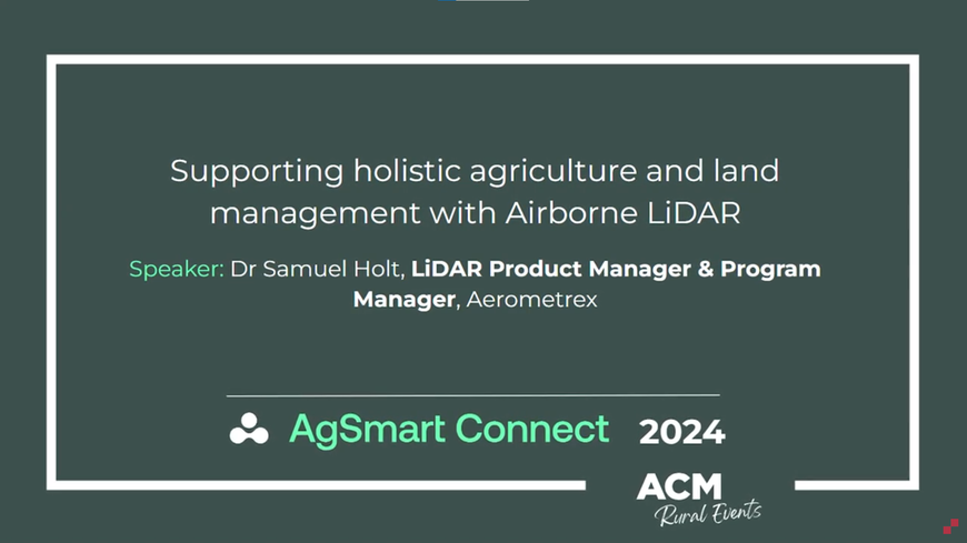
Speaker: Dr Samuel Holt, LiDAR Product & Program Manager, Aerometrex
Presented at: AgSmart Connect 2024, Tamworth NSW
Presentation Highlights:
In this presentation, Dr Holt discusses the commercial and environmental value of accurate LiDAR data for agricultural applications such as property visualisation, smart cropping strategies, and integrated farm and land management practices.
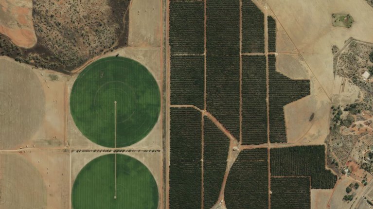
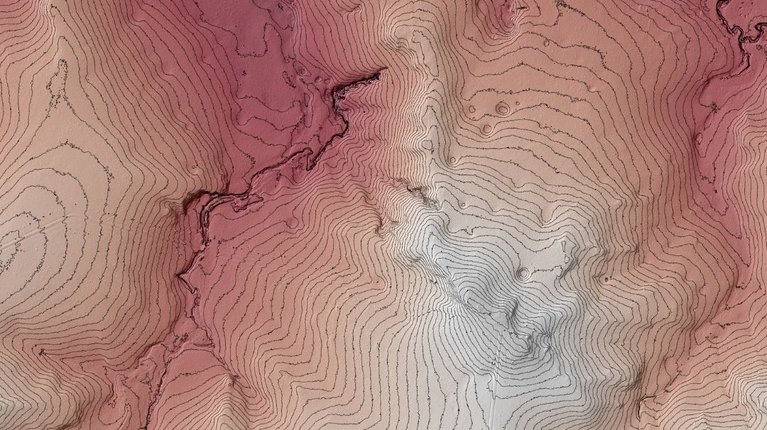
Airborne Light Detection and Ranging (LiDAR) is an aerial survey technology that captures a detailed three-dimensional landscape map, including the land surface, vegetation, and man-made infrastructure/assets. This three-dimensional map can be generated at large scales to provide landowners valuable insights across their entire property and within a single paddock.
This presentation outlines multiple use cases of LiDAR data through projects that Aerometrex has helped deliver to individual landowners, family-owned stations, and large corporate entities. These use cases showcase how LiDAR surveys can be designed to support the land management priorities of landowners and key resources to help landowners utilise geospatial data effectively.
Speaker: Dr Samuel Holt, LiDAR Product & Program Manager, Aerometrex