
With airborne LiDAR, there are always interesting, novel and new ways that the technology is being used across the world. Here are some examples you may enjoy reading about.
Read more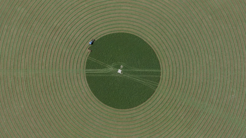
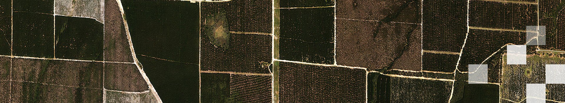
Airborne LiDAR is enabling landowners to boost operational efficiency, optimise land management, diversify commercial outcomes, and improve environmental performance.
Read more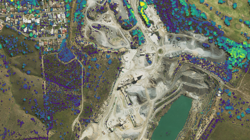
When you need data for seasonal analysis, regulatory reporting, or operational planning, Aerometrex ensures that high-resolution LiDAR mapping occurs under optimal conditions & adhering to timelines.
Read more
Transit-Oriented Developments (TODs) are changing the way we design and live in our cities. Aerometrex 3D data significantly enhances TOD planning and development projects.
Read more
Understand LiDAR accuracy through the lens of an expert and learn what is important for users to consider when selecting data for their specific use cases.
Read more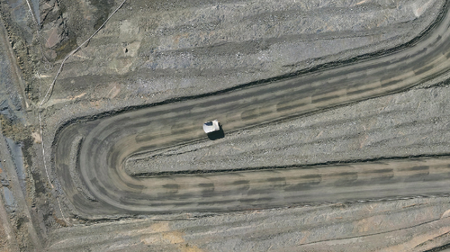
Spatial data acquired through Aerial LiDAR surveys can benefit mine sites throughout their entire life cycle - from pre-build planning to post-closure rehabilitation.
Read more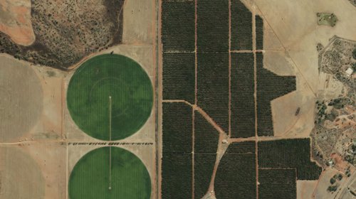
When designed properly, a single Airborne LiDAR survey can provide a suite of highly accurate datasets that can help landowners develop informed land management strategies. Read more..
Read more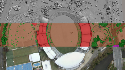
We gathered datasets from our three product lines to showcase the AFL Gather Round venues of 2023. See how spatial data can help critical infrastructure projects.
Read more
On this page, you'll find key links to resources and material about our bushfire measurement and assessment services.
Read more