Energy and utility organisations manage complex networks across vast and often challenging environments. Accurate, current spatial data is critical for maintaining reliability, improving safety and supporting long-term infrastructure planning.
Aerometrex supports organisations managing electricity, water, gas, and renewable energy with reliable aerial imagery, LiDAR, and reality modelling that transform physical assets into trusted digital intelligence. As a spatial solutions partner, we combine deep expertise in data capture with practical interpretation, helping teams maximise value from geospatial data without adding unnecessary complexity.
Whether you’re planning new infrastructure, monitoring existing assets or responding to operational risk, our solutions integrate seamlessly into your workflows and decision-making processes.
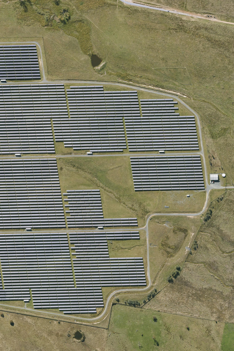
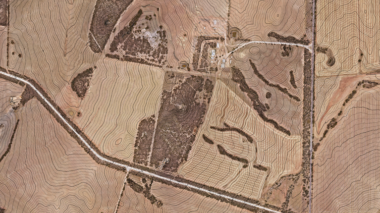
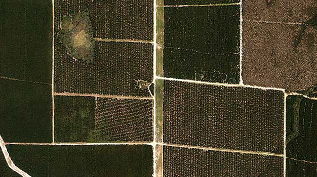
High-resolution aerial imagery provides a consistent, up-to-date view of assets and their surrounding environment, supporting informed planning and efficient operations across energy and utility networks.
Aerometrex supplies premium aerial imagery through MetroMap, our subscription-based imagery platform, as well as bespoke project capture where required. This gives energy and utility teams flexible access to reliable imagery at the scale and frequency that suits their needs.
This gives your team the ability to:
MetroMap imagery is updated regularly across major urban and regional areas, making it ideal for organisations that require ongoing access rather than one-off datasets.
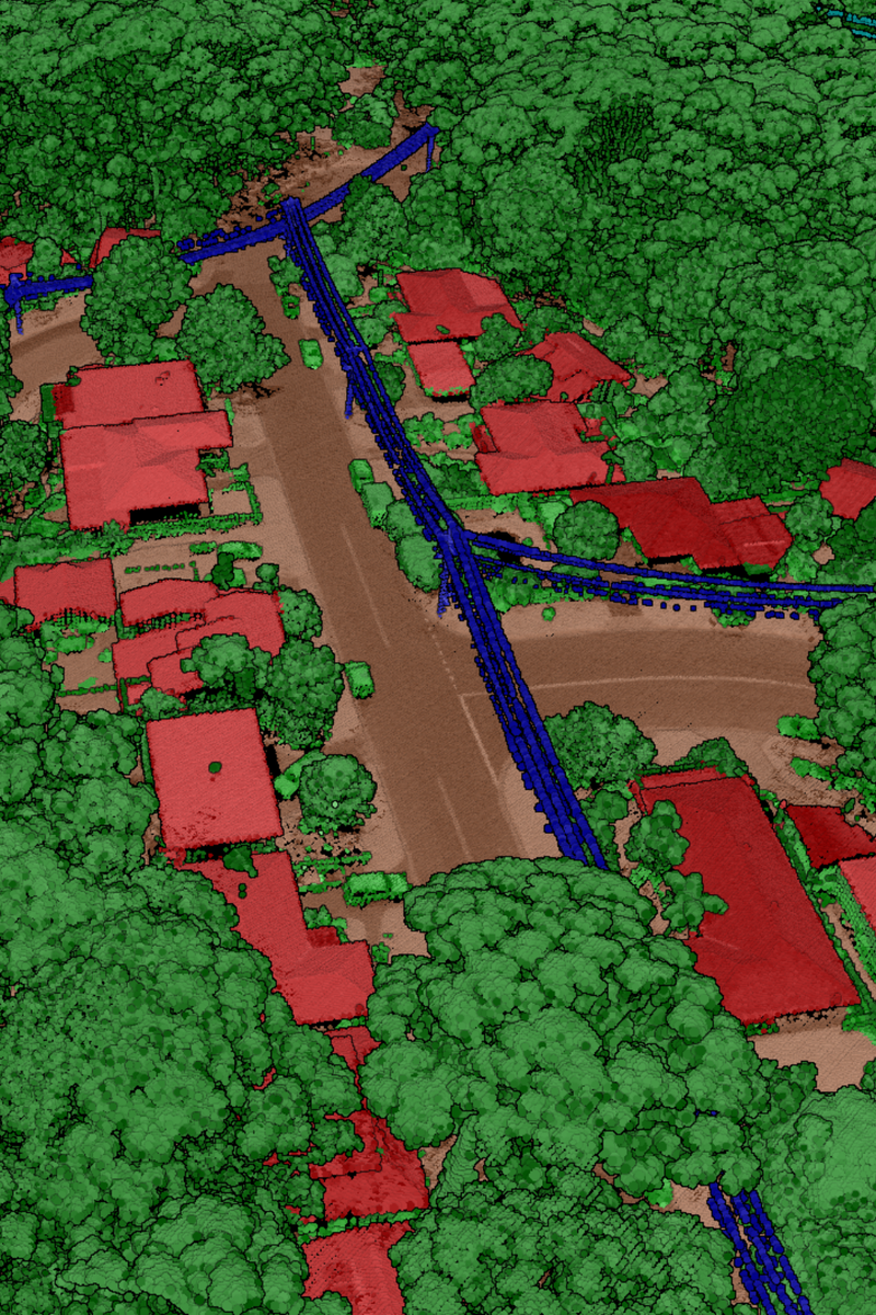
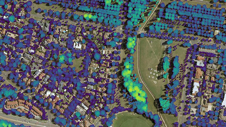
LiDAR provides detailed elevation and surface information that enables energy and utility organisations to understand terrain, infrastructure corridors and surrounding risk factors. It supports more informed planning, safer operations and improved long-term asset management.
Aerometrex delivers high-quality LiDAR datasets and derived products tailored to project and operational requirements.
This equips your business with:
Derived products such as elevation & vegetation datasets are supplied ready for use, allowing teams to focus on outcomes rather than data preparation.
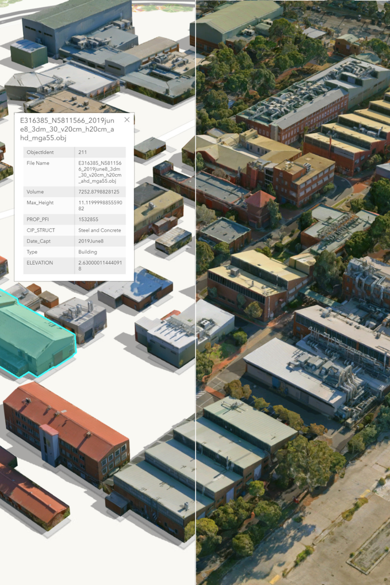
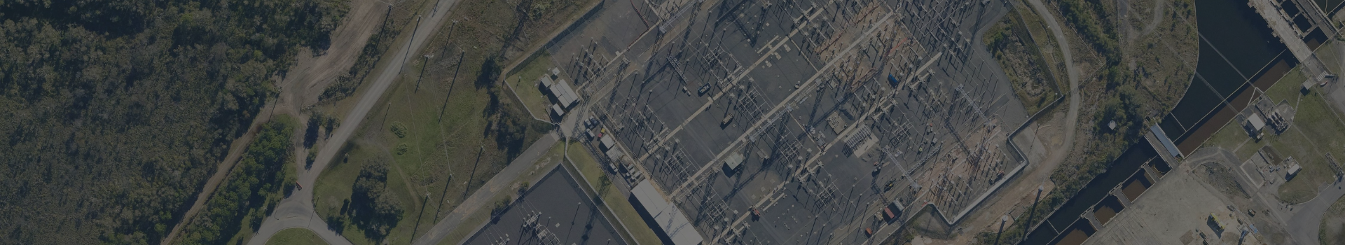
3D mesh reality models create detailed, photo-realistic representations of energy and utility environments by combining aerial imagery with spatial geometry. These models provide intuitive visual context that supports both technical analysis and communication.
Key benefits for your team:
Our 3D reality modelling integrates seamlessly with other spatial datasets, providing a cohesive digital representation of complex asset environments.