
Understand LiDAR accuracy through the lens of an expert and learn what is important for users to consider when selecting data for their specific use cases.
Read more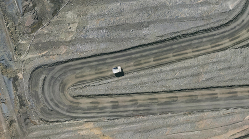
Spatial data acquired through Aerial LiDAR surveys can benefit mine sites throughout their entire life cycle - from pre-build planning to post-closure rehabilitation.
Read more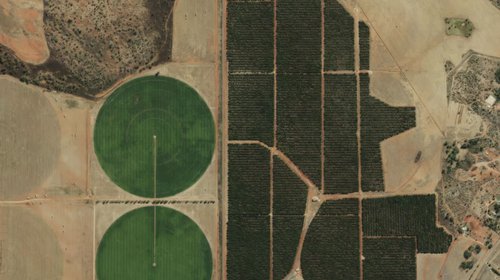
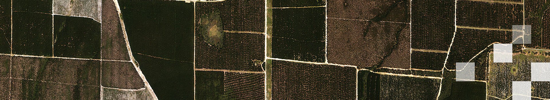
When designed properly, a single Airborne LiDAR survey can provide a suite of highly accurate datasets that can help landowners develop informed land management strategies. Read more..
Read more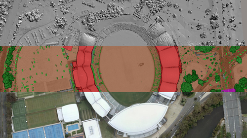
We gathered datasets from our three product lines to showcase the AFL Gather Round venues of 2023. See how spatial data can help critical infrastructure projects.
Read more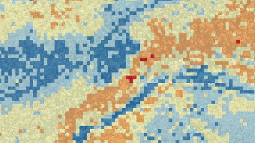
On this page, you'll find key links to resources and material about our bushfire measurement and assessment services.
Read more
Virtual tourism will play an ongoing marketing role to draw tourists into real-world locations. In future, virtual tourism assets shall remain valuable for their historical archiving of places.
Read more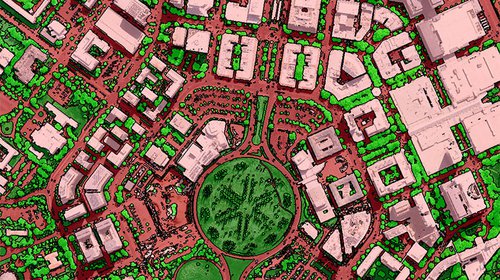
Building sustainable urban areas is a core challenge for all levels of government. Having the correct data is critical for making long-term plans and tracking their effectiveness once implemented.
Read more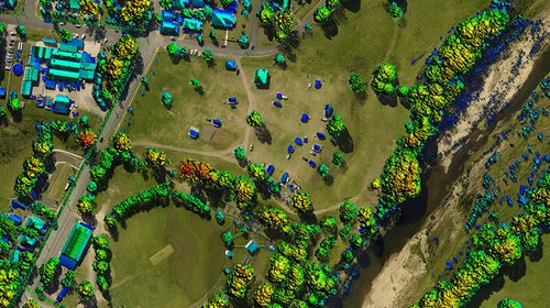
With governments seeking smarter, more accurate and up-to-date data to map, manage and monitor urban areas, spatial data leads the way, providing precise insights into urban vegetation.
Read more
The launch of “Cesium for Unreal” brings together two disciplines that can benefit greatly from each other – “3D geospatial modelling” and “Game Engine visualisation”.
Read more