Event, media and entertainment professionals require accurate, large-scale spatial data to plan venues, stage complex experiences, manage logistics, and create compelling visualisations. Aerometrex delivers high-quality aerial imagery, LiDAR-derived datasets and 3D modelling solutions that provide context, clarity and actionable insight.
Our solutions help event planners, tourism departments, conference organisers, virtual tourism providers, visualisation studios and immersive media creators to design, evaluate and communicate ideas effectively – from initial planning to execution and virtual engagement.
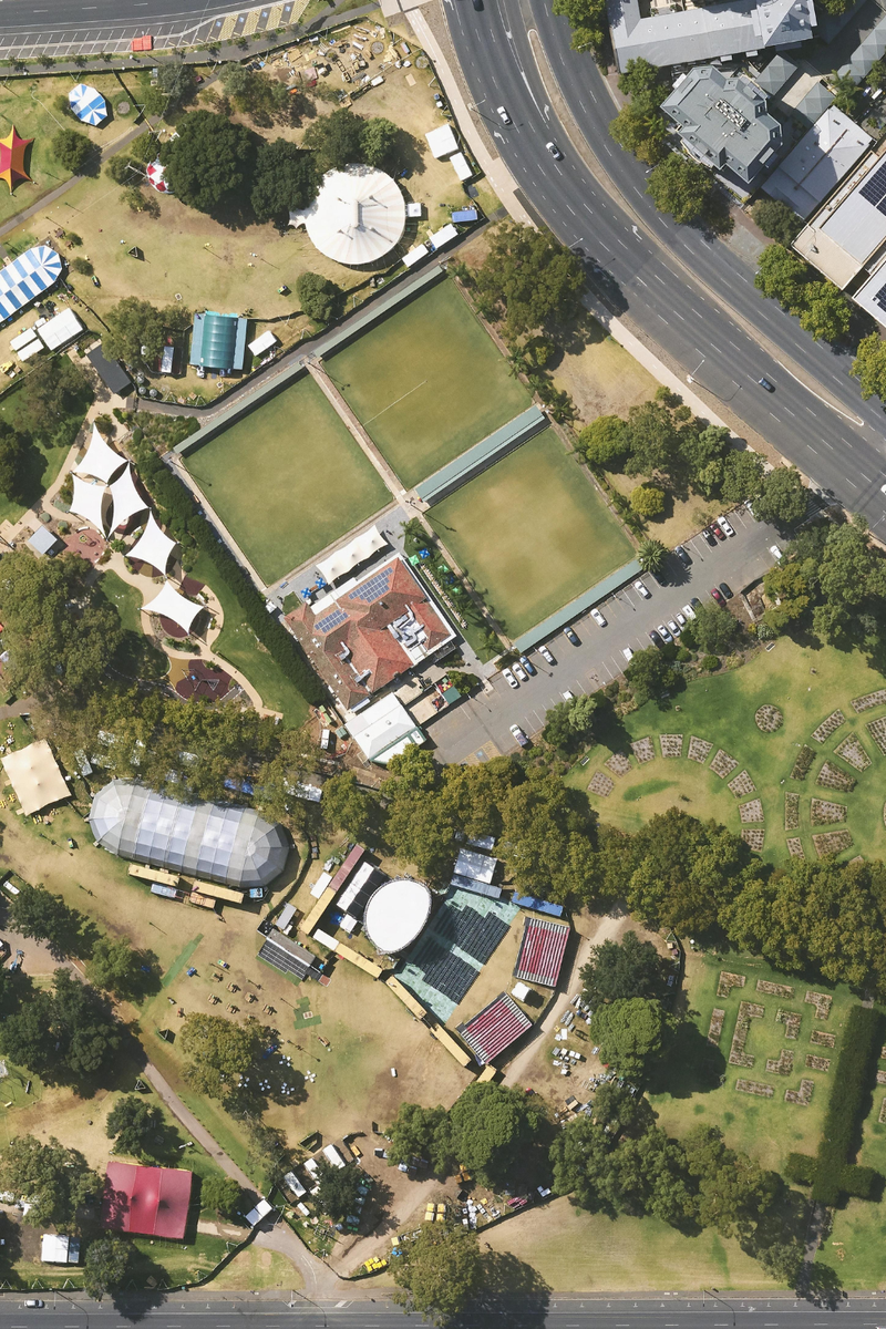
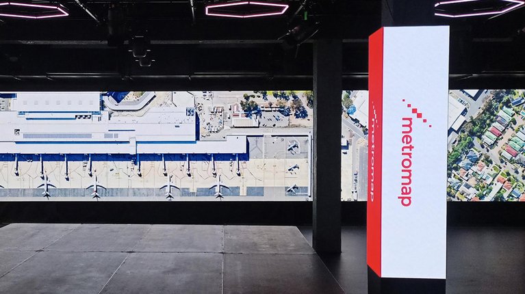
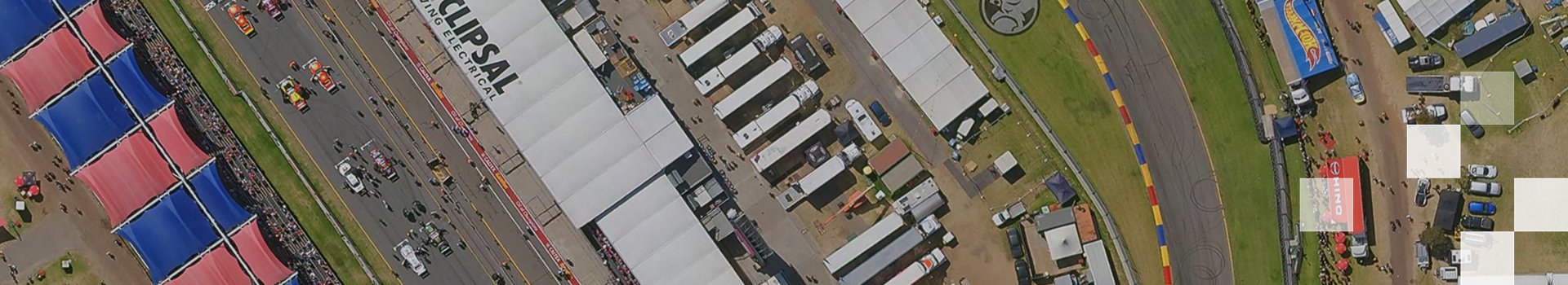
High-resolution aerial imagery provides a current view of event sites, urban environments and surrounding infrastructure – critical for feasibility studies, operational planning and visual storytelling.
Aerometrex delivers premium imagery through MetroMap, our subscription-based platform, as well as custom capture for one-off projects. This gives teams flexible access to accurate imagery for site layout, access assessment and virtual event previews.
Gain actionable insights from current site visuals:
MetroMap imagery is updated regularly, providing both current and historical views to support planning and analysis.
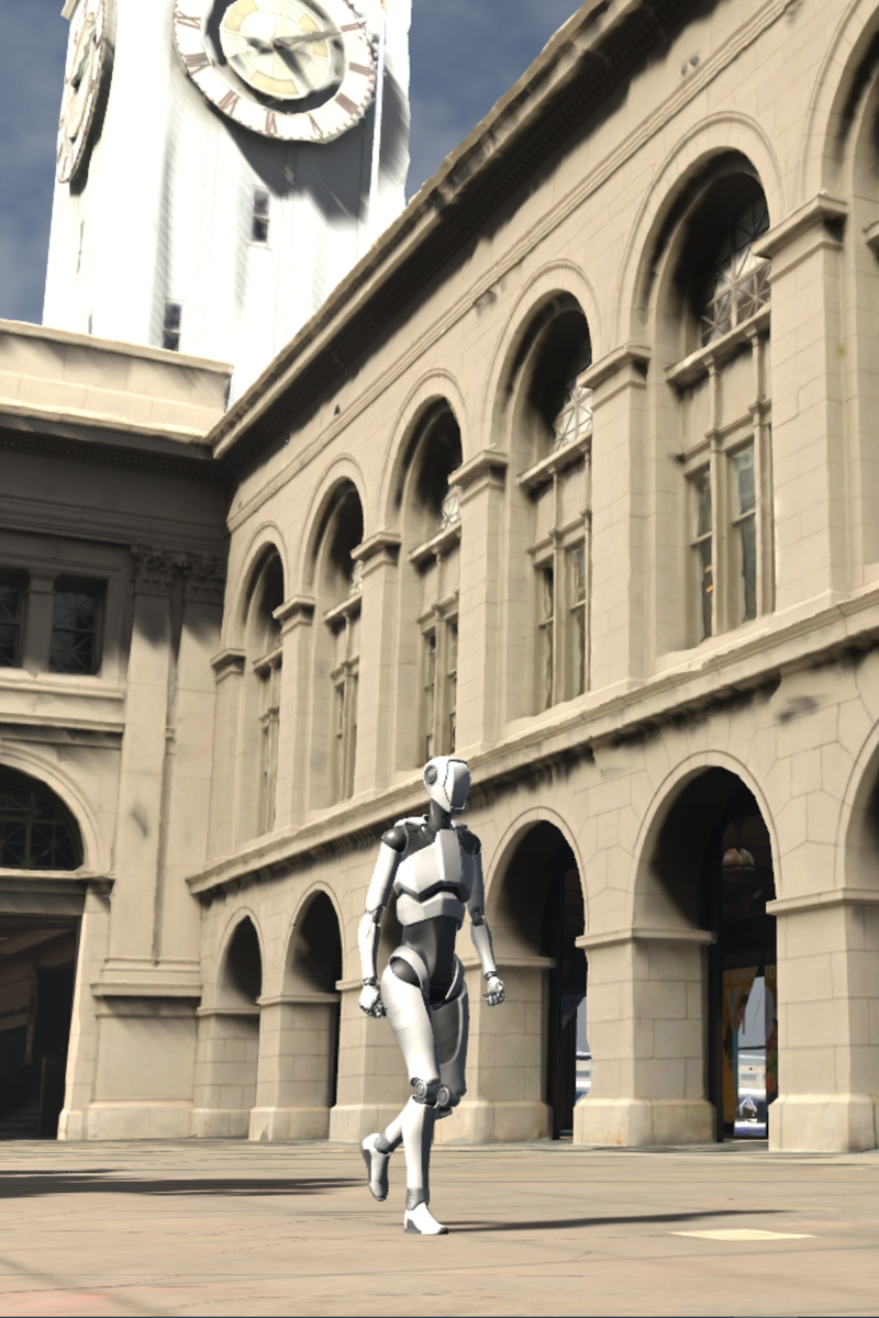
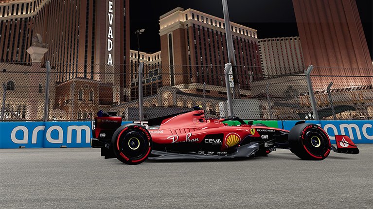
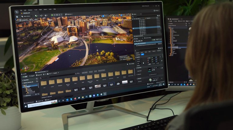
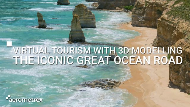
3D mesh reality models combine aerial imagery with spatial geometry to create detailed, photo-realistic representations of environments. They support event planning, virtual tourism, broadcast production, gaming and immersive experiences by providing intuitive, interactive visual context.
Experience venues and environments in immersive 3D:
3D reality modelling integrates with other spatial datasets, creating a cohesive platform for planning, engagement and creative workflows.
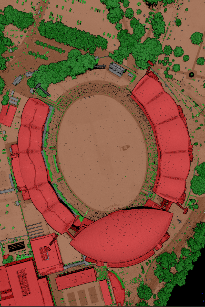
Aerometrex provides aerial LiDAR and derived datasets – including DTM, DSM, contours, classified point clouds, vegetation and building models – to support spatial analysis, operational planning and risk evaluation for large event sites and complex urban areas.
Leverage large-scale elevation and asset data to inform planning:
While aerial LiDAR does not replace detailed 3D visualisations, it provides a robust spatial foundation for planning, analysis and operational decision-making.