Telecommunications organisations - from carriers and tower companies to integrators, retailers and allied services - need accurate spatial data to plan, optimise, maintain and expand networks efficiently. Aerometrex provides aerial imagery, LiDAR‑derived datasets and 3D modelling solutions that give telco teams the geospatial context they require to make confident decisions across design, deployment and operations.
Our solutions support RF planning, site selection, line‑of‑sight analysis, tower and rooftop assessments, asset management and visualisation of complex urban and rural environments. By combining reliable base imagery with analytical datasets, telco teams can reduce site visits, streamline workflows and integrate spatial data into existing engineering and GIS platforms.
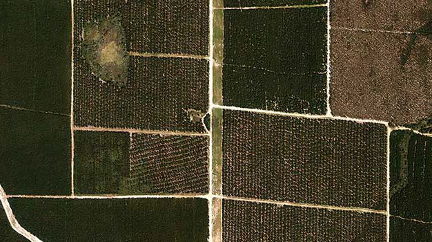
High‑resolution aerial imagery supplies the current, objective view of terrain, infrastructure and built environments that drive effective telecommunication planning. MetroMap provides regularly updated imagery with flexible access via web and APIs, making it possible to integrate imagery directly into network planning, GIS and analytics tools.
Using this imagery, your team can:
MetroMap is a scalable imagery foundation that supports both strategic planning and tactical decision‑making without the need for repeated site visits.
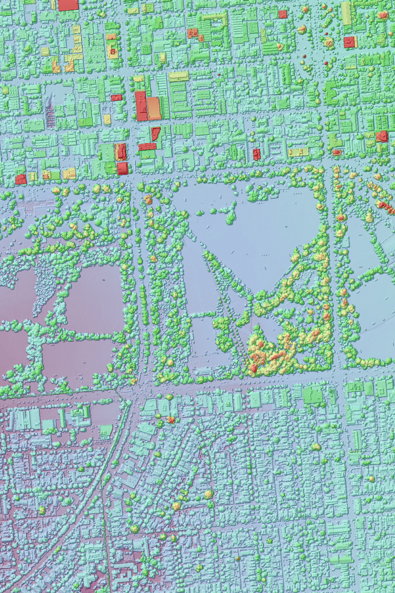
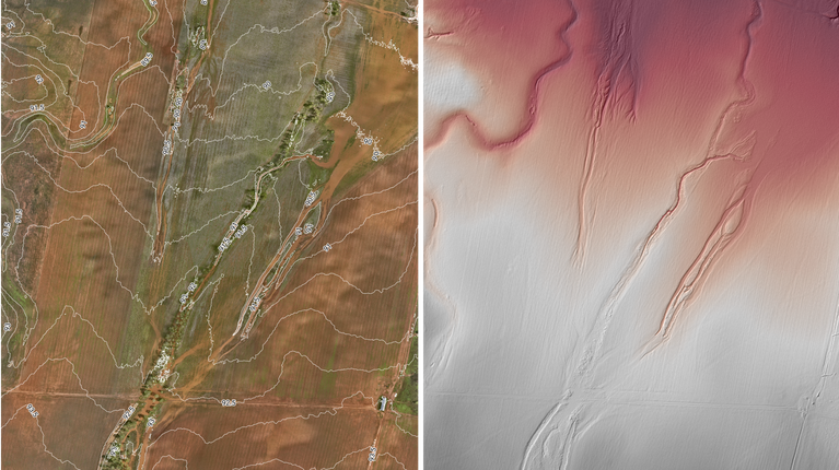
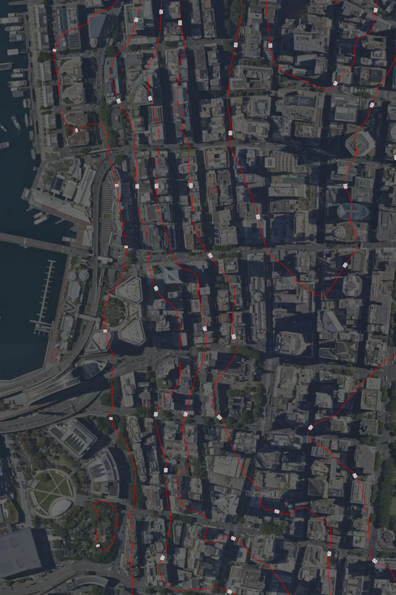
Aerial LiDAR provides detailed elevation and surface structure data that enhances telecommunications planning and performance analysis. Aerometrex delivers LiDAR and derived products such as DTMs, DSMs, contours and classified point clouds that help telco teams understand terrain, clutter and potential obstructions impacting signal strength and line‑of‑sight between sites.
This helps teams with:
LiDAR is especially valuable for corridor planning, 5G small cell deployments, signal propagation modelling and RF optimisation.
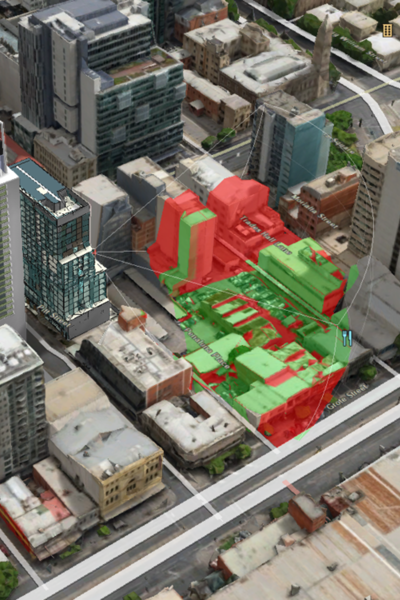
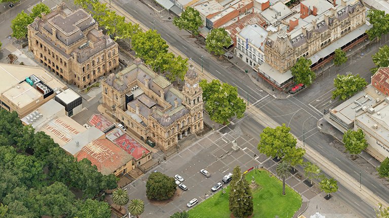
3D reality models bring network environments to life, giving telco teams a true-to-scale visual understanding of sites, infrastructure and surrounding terrain for planning and decision-making. These models are ideal for teleport planning, site reviews, complex urban analysis and infrastructure presentations.
Using 3D reality models, teams can:
3D reality models help reduce uncertainty in design and support collaborative workflows across engineering, planning and operations.