Transport and logistics networks rely on accurate, current spatial data to plan, operate and maintain complex infrastructure. From traffic management and road operations to major transport hubs and corridors, Aerometrex delivers aerial imagery, LiDAR-derived datasets and 3D modelling solutions that provide clarity, consistency and confidence.
Our solutions support road and traffic management companies, infrastructure operators, ports, airports, rail organisations and logistics planners by supplying trusted spatial data that integrates seamlessly into planning, operational and communication workflows.
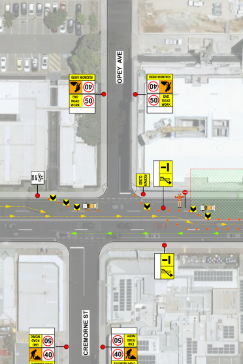
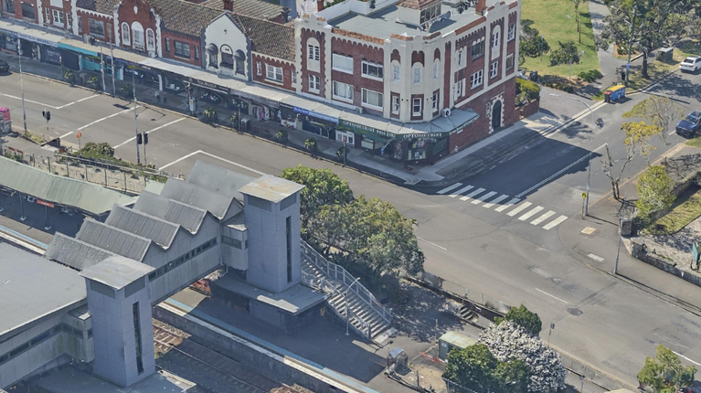
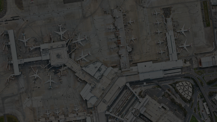
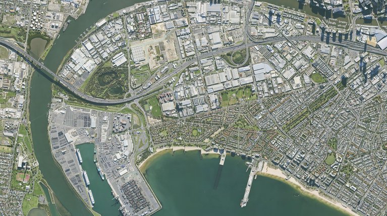
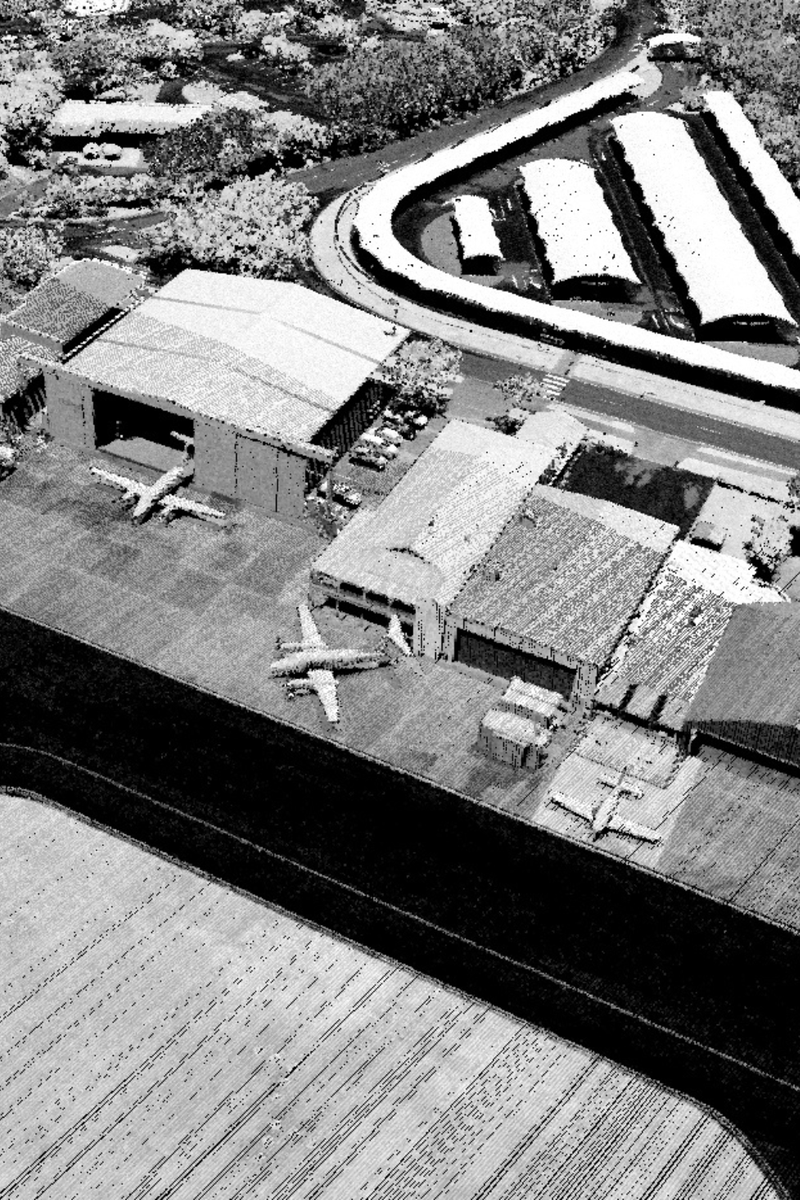
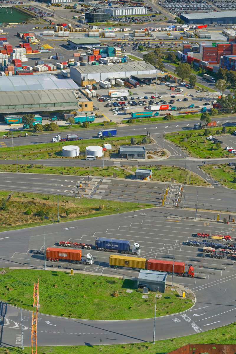
High-resolution aerial imagery provides an up-to-date view of transport networks, road corridors and surrounding environments. It supports everything from traffic planning and asset identification to operational coordination and stakeholder reporting.
Aerometrex supplies premium imagery through MetroMap, our subscription-based imagery platform, as well as bespoke capture for project-specific requirements. This enables flexible access to imagery across both localised works and broader network areas.
Using this imagery, teams can:
Regular MetroMap updates are particularly valuable for organisations that require ongoing situational awareness rather than one-off datasets.
Aerial LiDAR delivers detailed elevation and surface intelligence across linear and precinct-scale transport environments. Aerometrex provides LiDAR and derived datasets, including DTM, DSM, contours, classified point clouds and vegetation/building datasets to support planning, analysis and asset management.
Drawing on this data, transport and logistics teams can:
LiDAR provides a reliable spatial foundation for engineering analysis and long-term infrastructure planning across complex transport networks.
3D mesh reality models combine aerial imagery with spatial geometry to create detailed, photo-realistic representations of transport corridors, precincts and infrastructure. These models are being applied across major transport projects - helping organisations from ports to city planners visualise complex environments, test scenarios and communicate plans clearly to diverse stakeholders.
Using 3D models, your team can:
Integrated with other spatial datasets such as imagery and LiDAR, 3D reality modelling creates a cohesive visual platform that elevates planning, operational insight and communication across both technical and non-technical audiences.