01 Mar, 2022
In an Australian first, using Airborne Light Detection and Ranging (LIDAR) technology, this summer, Aerometrex has carried out a detailed survey of the bushfire fuel loads across some of the most densely populated, high risk areas of the Adelaide Hills, including Stirling, Aldgate, and Bridgewater.
These datasets can provide critical information to the South Australian State Government and Country Fire Service that will:
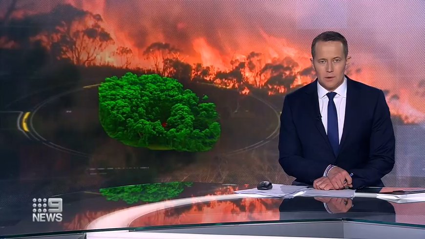
Video courtesy of Channel 9 News Adelaide, originally airing 27 February 2022
The recent survey by Aerometrex analysed over 6,000 dwellings & structures across 80 sq. km. of the Adelaide Hills. Among other results, the company found close to one-third of the properties have high fuel loads in their proximity (within 100m) and the average distance by road to the nearest bushfire "last resort refuge" was found to be 7.5 km.
This new & innovative technique makes it possible to rapidly generate accurate bushfire fuel load maps across large areas of eucalypt woodlands and forests that dominate the Adelaide Hills. The project builds upon foundational research completed by the company in 2020 which intrinsically linked standardised visual and physical fuel load measurements collected in the field by Fire Management Officers with measurements taken from an aircraft using LIDAR.
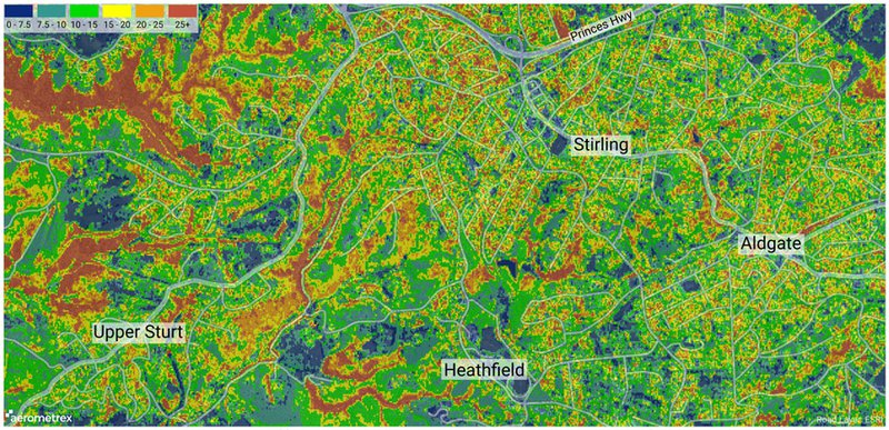
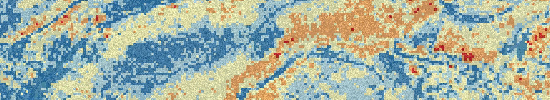
Tonnes Per Hectare Fuel Load: Shows the amount of fuel across the landscape and can be used to simulate bushfire severity and behaviour
The results of this survey include a range of maps that correlate closely with overall fuel hazard – including cumulative fuel load density and fuel load vertical connectivity, as well as the amount of physical fuel load across the landscape, in tonnes per hectare (t.Ha-1). On top of this, Aerometrex has developed a new automated methodology to provide bushfire experts with remotely calculated Bushfire Attack Level for any existing structure, or proposed new structure, within the survey area.
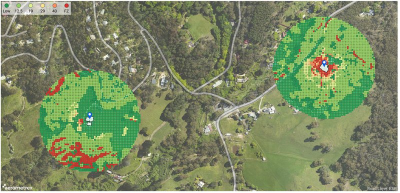
Bushfire Attack Level (BAL): Remotely generated indicative BAL assessments (Method 1) for two properties. BAL measures the severity of the potential exposure to ember attack, radiant heat and direct flame contact. BAL is used to establish the construction requirements to improve protection from bushfire attack.
Aerometrex hopes to collaborate closely with the SA State Government, CFS and leading bushfire industry experts in the coming months to maximise the benefits of these datasets to the community. This project is the first step towards using Airborne LIDAR to analyse bushfire fuel load for different vegetation types in other states and territories. With the newly acquired knowledge, Aerometrex and partnering stakeholders can help drive continued innovation in bushfire science across Australia.