INTRODUCTION:
As one of the world's top ten forested countries, Australia relies on growers to manage productive, healthy forests sustainably for generations to come. HQPlantations is part of Australia’s plantation timber industry, which includes the forest, wood, and paper products sector - Australia's sixth-largest manufacturing industry.
Aerometrex has been a trusted provider of geospatial data to the company and continues to work with them on a range of use cases. Highlighted below is a case study that showcases some of HQPlantations’ key challenges and demands from a spatial data perspective, which Aerometrex has worked collaboratively to provide solutions for.
THE REQUIREMENT:
As plantation growers, HQPlantations are faced with a range of multi-faceted challenges that relate to better understanding the environmental and commercial state of the forest they manage.
A primary interest is the commercial value of the wood within the plantation estate, accounting for representative growth rates and the overall health of the trees.
These investigations must be undertaken cost-effectively at scale and inform management strategies to ensure the long-term sustainability of the land they have stewardship over.
THE SOLUTION:
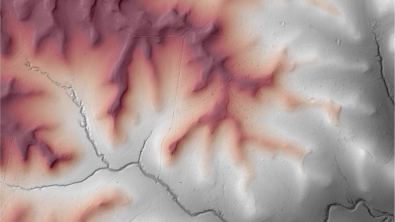
To generate a three-dimensional model of the forests across HQPlantations’ estate, Aerometrex designed a bespoke aerial survey that would produce foundational data that meets the requirements of their operational needs.
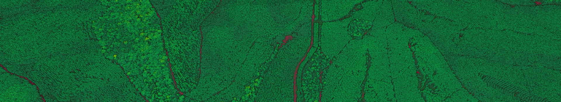
Key to the suitability of the solution was the very high point density of the LiDAR point cloud and survey design which meant every tree was captured from multiple viewing angles and imaged fully in three dimensions. This survey design gave HQPlantations the structural detail required to facilitate an assessment of the standing growing stock of their timber estate.
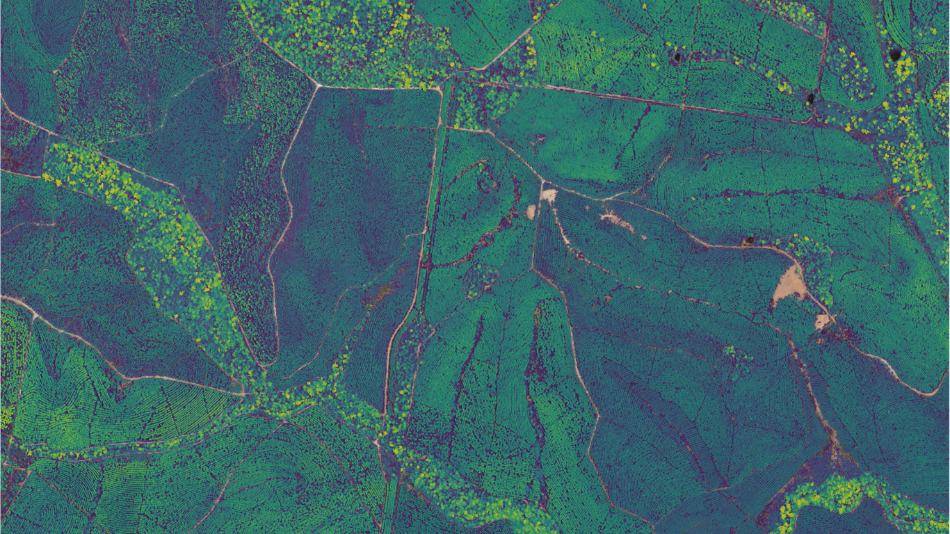
Aerometrex delivered LiDAR data that was classified so that HQPlantations could separate the ground surface from the trees and man-made infrastructure within their sites. This ensured that metrics derived from the LiDAR survey were representative of their managed timber trees and not biased due to misclassification. Aerometrex also delivered high-resolution aerial imagery, to be used by HQPlantations as a reference layer for remote site inspections.
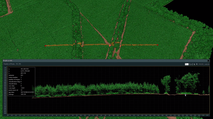
This video showcases some of the LiDAR-derived data (classified point clouds and tree profiles) from this project using the Potree Viewer.
THE RESULTS & BENEFITS:
The datasets provided by Aerometrex enabled HQPlantations to extract the core metrics they require to understand the growth and commercial value of their managed forests at scale.
Various teams within HQPlantations have embraced the LiDAR data across a range of use cases. The derived forest structural information has enabled:
Repeat captures shall also allow HQPlantations to have an ongoing and updated view of the younger stands between the ages of 3 to 10 years, to calculate metrics for growth models over time and predict more accurately how the estate shall grow and what it’s worth to their investors.
Mark Jones, General Manager of Resources at HQPlantations
CONCLUSION:
Projects such as these, provide growers like HQPlantations with clear commercial benefits, related to the increased efficiency in their monitoring operations which reduce the reliance on costly traditional boots-on-ground field surveys as well as increase the scalability of remote sensing solutions. Companies can utilise remote sensing applications to reduce costs and improve the accuracy, precision, and timeliness of plantation characterisation. This can help them as well as their contract partners focus on continuous improvement and innovation towards sustainable plantation management.
ABOUT HQPLANTATIONS:
HQPlantations is an Australian company operating out of Queensland having acquired plantations from the Queensland State Government in 2010. Today, they are Queensland’s largest plantation grower, managing a 310,000-hectare estate of forest and lands.